Can't find what you're looking for? Please contact us.

Reconnecting Vermont’s landscape for wildlife

7 min read / November 11, 2025 / By Sarah Wolfe

Safe passage

Nestled within the Taconic Mountains, a 334-acre parcel of forest helps connect an important wildlife corridor along the southwestern edge of Vermont. These types of connections are critical for wildlife resilience and long-term health.

This story is part of our 2024-2025 Annual Report. Read more about the places and people we worked with here.

Along the southwestern edge of Vermont rise the Taconic Mountains. Formed from land once submerged under an ancient ocean, these mountains are rich in calcium from the shells and bones of sea creatures. This calcium creates fertile soils, making the range a hotspot for a myriad species of plants and wildlife. They also serve as an important wildlife corridor all the way from Lake Champlain to the Hudson Highlands in New Jersey.

“The Taconics are a forgotten corner of Vermont,” said Don Campbell, Project Director at VLT. “But they have outsized ecological significance because of the way animals move up and down the eastern seaboard.”

The mountains form a 150-mile sub-range of the Appalachian Mountains that runs almost directly north-south, an unfurled ribbon east of the Green Mountains and west of the Catskills and Adirondacks.

This summer, we worked with The Conservation Fund (TCF), a longstanding partner, to conserve about 334 acres of land in Sandgate, in the heart of the Taconics. While the remote, forested parcel may look like a discrete shape on our human-made maps, its greatest value may lie in being part of something much larger than itself.

Building connections and preventing isolation, for resilience and survival

Jens Hilke, Conservation Planner with Vermont Fish & Wildlife, specializes in wildlife habitat and wildlife crossings. He is also the co-author of Vermont Conservation Design, a tool that maps high-priority land for protection statewide.

Some of these priority areas are large stretches of forestland, while others are much smaller but serve as crucial stepping stones between forest blocks.

“What we’re looking for is an hourglass shape,” said Jens, “where there’s a huge forest block on either side with a constriction in the middle, which is often a valley associated with rivers and roadways. We need to maintain the connection between those two forest blocks.”

Even a small parcel can have an enormous impact.

Animals don’t recognize property boundaries

Animals don’t care whose name is on the deed. Their focus is on finding food, mating, and raising their young safely. As the climate changes rapidly, animals must adapt and move often. Getting from one large forest area to another requires safe pathways. Obstacles like road traffic, fences, barking dogs, and heavy machinery can sever connections and isolate animal populations.

Isolation can have serious consequences, says Jens. “When there’s a disturbance, like a new disease or a big storm, an isolated population is more likely to blink out all at once.”

Movement between different animal populations — across regions — allows for genetic exchange. That keeps populations healthy, Jens explains, helping build resilience for the species.

“It could be enough for one black bear to move between populations once a generation. That’s such an important event, because it represents new gene flow coming in.”

A small link with a big impact

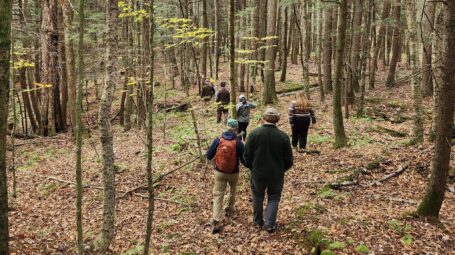
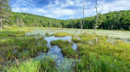
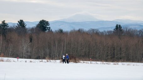
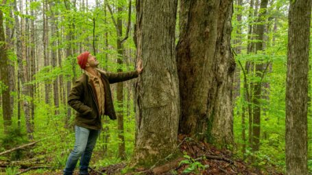
A male black bear in the Northeast can have a home range of up to 80,000 acres. In comparison, 334 acres in Sandgate may not seem like much. But, by linking up larger pieces of forest, it reconnects the landscape in ways that animals need.

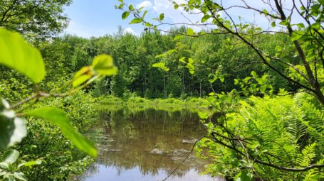
The land that we protected borders over 1,500 acres of protected forest to the northeast, south, and west.

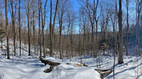
“This project builds on existing conserved lands,” explains TCF’s Hannah Epstein. “It fills a gap between them and contributes to a connected north-south corridor of conserved lands stretching from Arlington to Sandgate.”

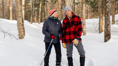
Landscapes are stronger when they are connected. Similarly, conservation groups can achieve more when we work together.

This project is part of a multi-year collaboration, informed by Vermont Conservation Design, the tool that Jens coauthored. TCF acquired the parcel as part of a larger three-state purchase from a lumber company. TCF conserved it with VLT and then sold it to Ross Rabach, a private landowner who is thrilled to be stewarding the protected property.

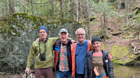
“TCF and VLT have a longstanding and incredibly productive partnership,” says Hannah, “and without a doubt our respective organizations are able to conserve more land by working together. This is increasingly important for working towards statewide conservation goals.”

Conserved lands make ideal pathways

The parcel itself is home to a range of forestland and habitat, thanks to the rich soils of the Taconic Mountains. Much of the land features Dry Oak Forests, an uncommon forest in Vermont known for its abundant food for wildlife.

There are also white pine, red maple, and beech trees; younger stands where prior logging created openings in the canopy; and blueberry, shadberry, and black huckleberry in shrubby areas. A vernal pool nestled in the property’s interior offers important breeding habitat for amphibians.

Several forested streams cross the woods, eventually flowing into Chunks Brook, which then joins the Batten Kill River.

Protecting this parcel means the land will stay forested, permanently, and scores of birds, fish, large animals, and other critters will be able to move, adapt, and thrive.

Jens says conserved lands make ideal pathways because they are protected forever. “Even as the rest of Vermont may get developed, we know beyond a shadow of a doubt that protected land will remain undeveloped. That’s critically important.”

All photos by Caleb Kenna.

“Protected lands often look like islands in this sea of private land. But those lands will remain undeveloped and that’s critically important.”

Want to support landscape connectivity across the state?

DONATE TODAY