Local family conserves land for healthy forest, wildlife habitat, flood resilience, and clean water; adding to 5,000+ acres of protected forest in Taconic Mountains
We worked with the Tibbetts family and the state partners to protect a significant stretch of the Batten Kill river along with forestland.
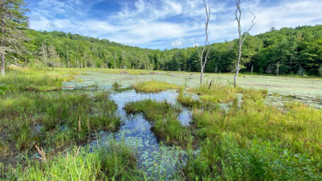
The nearly 250-acre Arlington parcel has managed forest, some agricultural land, and over a mile of frontage along watercourses. Those watercourses include the Batten Kill, Benedict Hollow Brook, and other cold-water streams and wetlands. The land abuts a large swath of already protected forest in the Taconic Mountains.
The Tibbetts family has owned property in the area for more than a century. They conserved nearly 1,000 acres of forestland with us in 2001. This latest project protects the family farm, which shares a boundary with the previously conserved land.
Cynthia Browning, former Executive Director of the Batten Kill Watershed Alliance, represented the Tibbetts family on the effort.
Cynthia said the Taconic landscape, the Batten Kill river, and wildlife are greatly valued by the Tibbetts family. She described the just conserved property as possessing “beauty, but ordinary beauty, the kind of beauty that the fish, bobcats, fireflies, and people need.”
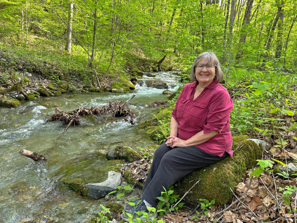
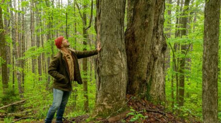
Cynthia Brown along Benedict Hollow Brook on the protected land
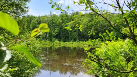
Batten Kill river, streams, and wetlands protected
Under the easement, a 10-acre area along the Batten Kill between US Route 313 and River Road is a permanent River Corridor Management Area, dedicated to river health, clean water, and flood resilience. At nearly 60 miles, the river is the longest Hudson River tributary to the east and known for its trout fishing.
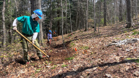
Cynthia began working to support the watershed even before the land was formally conserved. She was instrumental in efforts to retire cropland by the Batten Kill and plant native shrubs and trees there, with support from the Bennington County Regional Commission. She plans to plant additional wooded buffer in those fields, and to work with Trout Unlimited to add natural fish habitat cover along the tributary streams on the property.
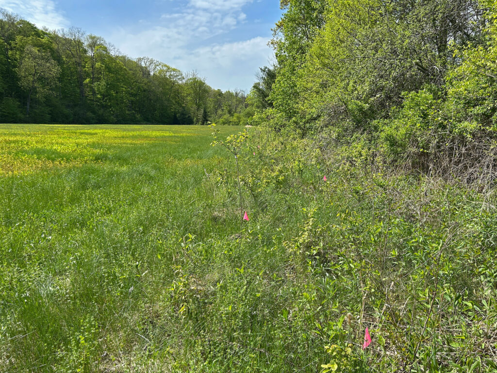
Former farm fields along the Batten Kill river where land has been set aside as a buffer, and trees and shrubs planted (pink flags).
The conservation protections ensure that in the future about 1.25 miles of river and stream frontage will be managed to support the growth of shrubs and trees on land along the waterways as a protective buffer. This will enable the Batten Kill to flow freely and more safely as water levels rise.
The resulting healthier floodplain will reduce erosion, improve water quality, and enhance aquatic and wildlife habitat. The protection of cold-water streams on the property will benefit the river’s trout population, which draws anglers from far and wide.
“While the Batten Kill river is one of Vermont’s most iconic trout fishing streams and is beloved by many,” said VLT’s Don Campbell, “part of its charm comes from its agricultural setting and intact floodplain features. By affording the river space to evolve naturally, and protecting that space, hopefully the river can remain the high-functioning and beautiful waterway it is today.”
The effort was funded by Vermont’s Department of Environmental Conservation. Shannon Pytlik, river scientist with the department, said: “The Vermont DEC is happy to support the River Corridor Easement on the Tibbets farm. The easement will provide long-term water quality and flood resiliency benefits to the beautiful Batten Kill river.”
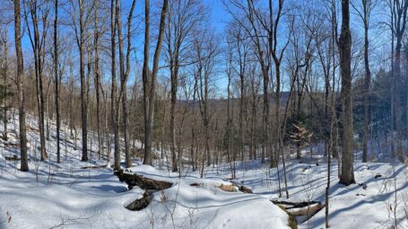
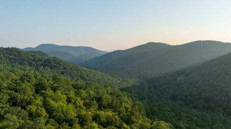
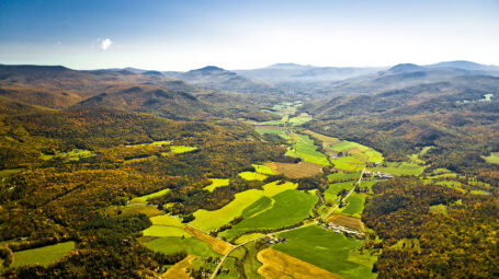
Swath of conserved Taconic forestland and wildlife habitat
The largely forested property borders approximately 5,500 acres of protected forest. Among those conserved lands are private, municipal, state, and federal holdings, including the Arlington State Forest.
This large, conserved block lies on the eastern ridge of the Taconic Mountains, where the Batten Kill turns west and cuts through the mountain range. The river ultimately flows into the Hudson River in New York state.
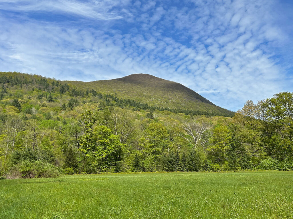
The 2,800+ foot Red Mountain can be seen to the northeast from the protected Arlington land.