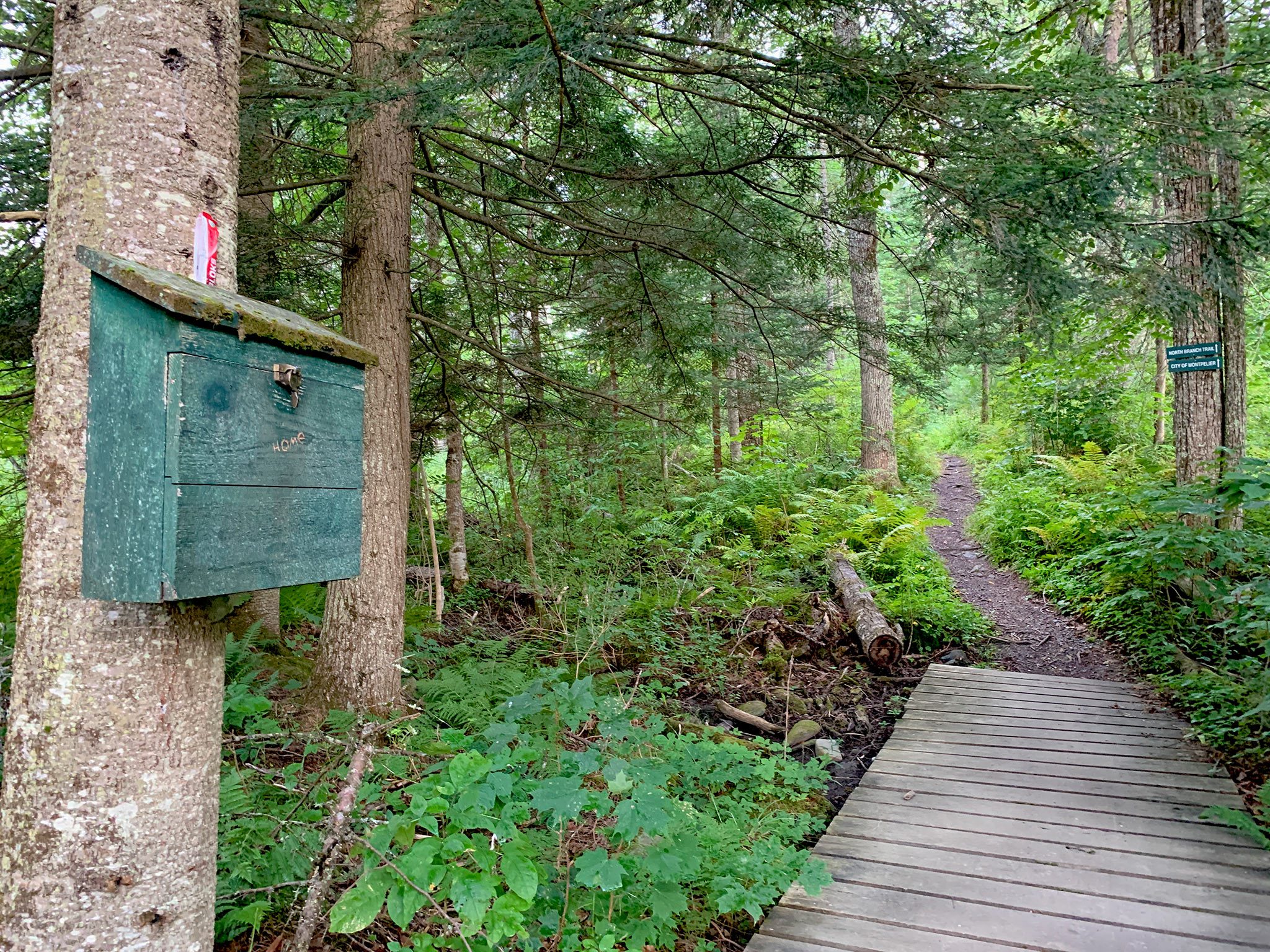
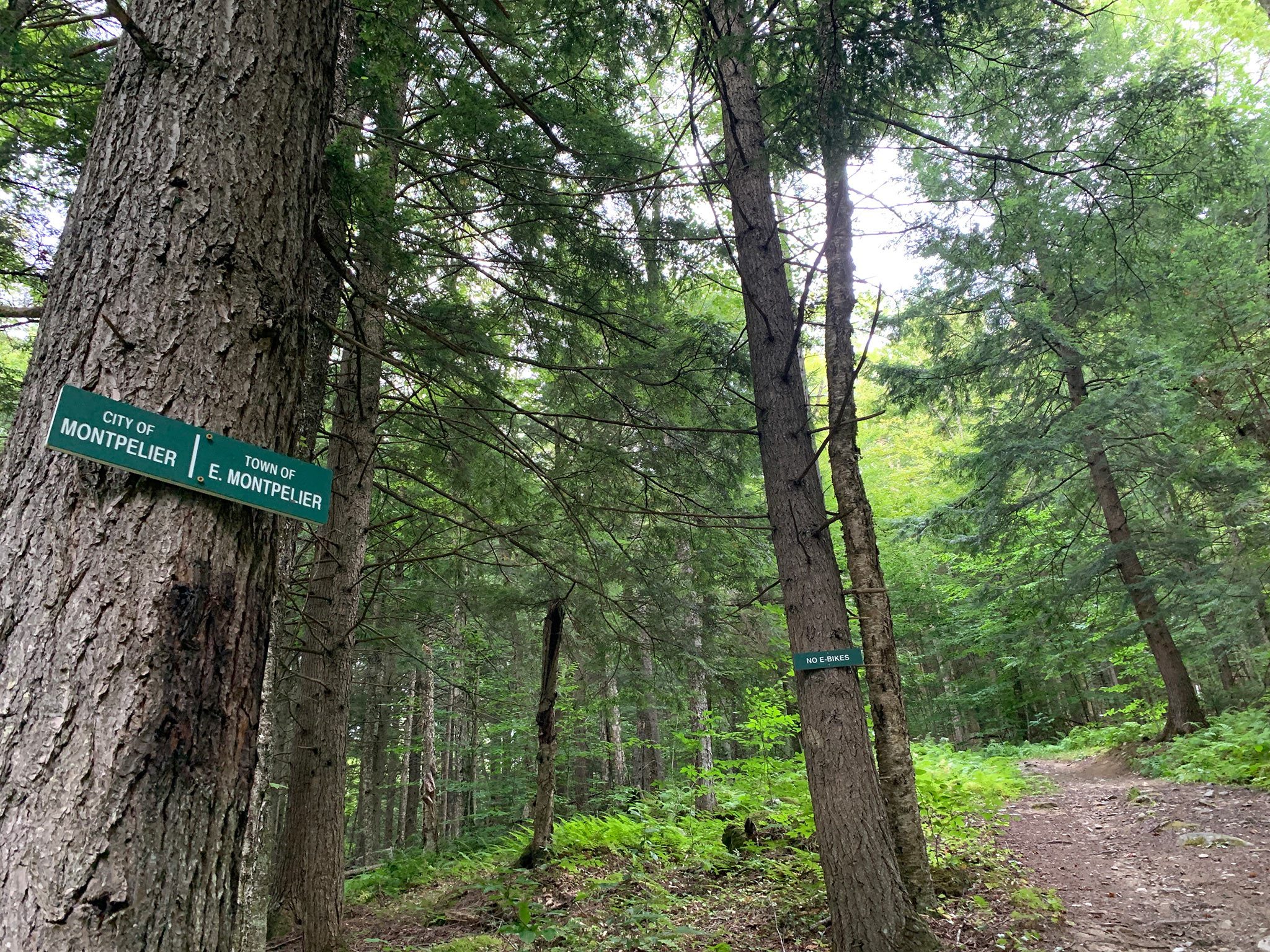
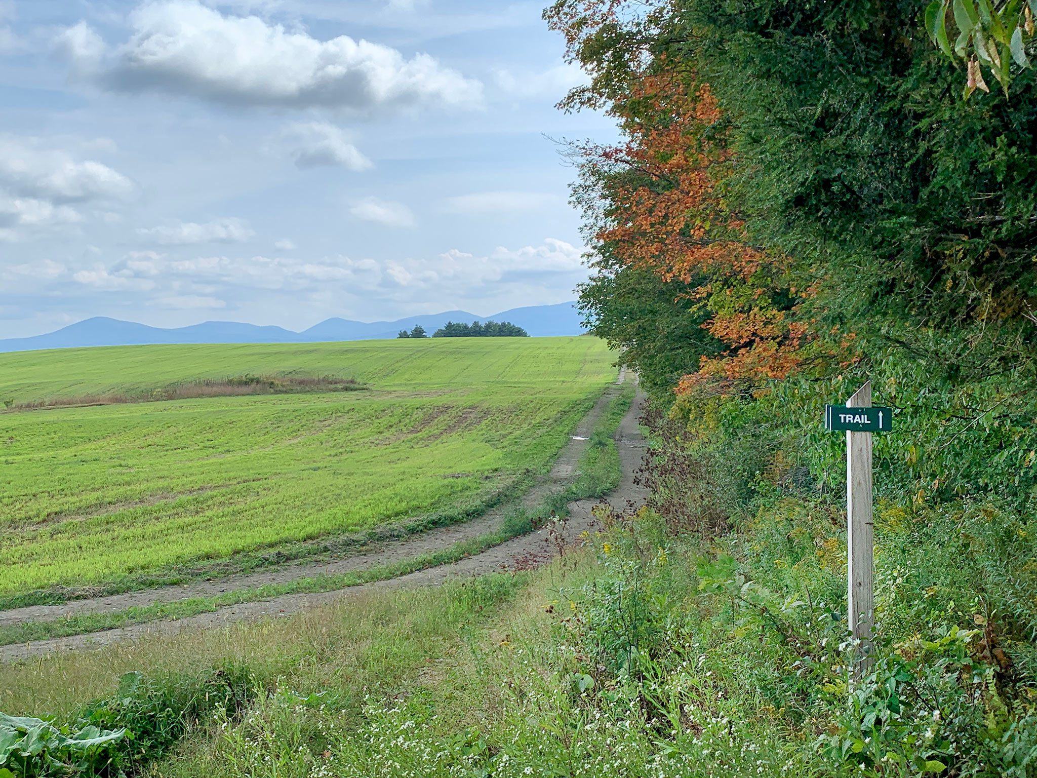
Can't find what you're looking for? Please contact us.

East Montpelier Trails

  • Location East Montpelier, VT
  • Acreage 685
  • Protected Since 1991
  • Map marker pin icon Featured Recreation Land

East Montpelier Trails offers short walks, long hikes, cross-country skiing, mountain biking, and more, across a scenic, rural Vermont landscape

East Montpelier, a rural town tucked into the hills of central Vermont, has a trail system that winds through pastureland, woodland, past weathered barns and ponds. Maple trees and stone walls border the rolling farm fields where cattle and horses graze.

This 15-mile community trail network traverses public and private land along a serpentine route throughout the town. Sections of rocky, root-covered narrow trails are linked together by short stretches of dirt roads and logging roads. The trail system was made possible through the generosity of many volunteers and landowners, and through land conservation.

Origin Story: A three-day backpacking trip and a grand vision

In the early ‘80s, Nona Estrin began dreaming about a multi-use community trail network in her hometown of East Montpelier. It seemed silly to have to drive elsewhere to hike or ski on trails through the Vermont countryside when East Montpelier had so much to offer. So, Nona started by mapping out a route.

In the fall of 1983, she packed her tent and took three days to traverse her planned route through the town. Friends and neighbors joined her along the way, and she shared her vision for the trail, knowing she couldn’t do it alone.


Photo: Mary Stone (left) and Nona Estrin (right) of East Montpelier Trails

Farm and trail conservation go hand-in-hand

In 1988, Act 200 prompted Vermont towns to engage in planning sessions about what their towns would look like in 40 years. Landowners, farmers, and outdoors enthusiasts landed on a vision of a town that involved recreation and protecting family farms. Nona and others formed a trails committee; she knew the trail system was dependent on private landowners.

During this time, we worked with farmers and other landowners who wanted to conserve their land. Adding trail rights to the conservation easements on these properties helped secure grant funding for the landowners to conserve their land.

“I knew if we were going to secure conservation dollars, we would need to be competitive,” explained Nona. “We are a little town, we aren’t the most beautiful landscape in the world, but we have community support and that was our ace in the hole.”

All told, we’ve conserved over 20 properties in the East Montpelier area, and the trails Nona backpacked 40 years ago cross many of them.

Photo: View from Mallory Brook Trail

Farmers helped make a community trail network possible

The Chapells of Templeton Farm were one family who conserved in the early years.

Their ninth-generation farm is now protected from development and hosts a section of trail. Farmer Bruce Chapell says neighbors have gone out of their way to thank the family for allowing the trail to cross some of their farmland.

“East Montpelier Trails has done more to promote land conservation than anything else,” he says.


Photo: Bruce Chapell and Sherry Miller at Templeton Farm

Trails for all kinds of uses, from walking to snowmobiling

What started as a small volunteer effort formalized into a nonprofit called the East Montpelier Trails Committee in 1992.

Over the decades, the trail system has grown to about 15 miles of marked trails.

All are open to pedestrian recreation, such as walking and skiing.

Many trails within the community trail network also allow other uses such as snowmobiling, mountain biking, and horseback riding. Please read up on which trails allow which uses before venturing out.


Photo: Sparrow Farm Trail

A community trail network built on volunteerism

Mary Stone, the current president of East Montpelier Trails, has been a volunteer with the group from almost the beginning. She helps with landowner agreements, new projects, and trail maintenance, fosters partnerships, and fields concerns from trail users and landowners.

“Roughly 20 years ago, Nona called and said, ‘Mary, why don’t you come to a board meeting.’ And of course, you do not say No to Nona,” remembers Mary. “Looking back, she and I have watched this amazing thing happen.”

Mary is joined by a board of 10 community members; each plays an important role in maintaining and extending the community trail network, in addition to trail workday volunteers. On National Trails Day, the first Saturday in June, volunteers gather to repair and improve the trails. Additional workdays are scheduled throughout the year as needed.

Mary says the group is always looking for help.


Photo: Mary on the trail

Explore East Montpelier Trails

  • Public Access
  • Dogs Allowed
  • Parking

This 15-mile trail network goes through woods and along farmland. There are 11 access points with parking. All trails are open to pedestrian recreation, such as walking and skiing. Many trails within the network also allow other uses such as snowmobiling, mountain biking and horseback riding, but please visit the East Montpelier Trails website for details about uses and seasonal changes.

The East Montpelier Trails Map provides detailed trail descriptions of what is allowed on each section of trail. There are also signs at every trail head that provide a map of that section of the trail and the rules of use. Parking at trailheads not allowed after 9 PM.

Dogs are allowed on the trails, so long as they are leashed near the trailheads and under control at all times. Users of the Karen Clark Trail are advised that dogs mush be leased at all times when on school property.

You are encouraged to enjoy your experience on the trails but please respect the landowners who generously provide public trail access. Dispose of any trash properly, respect wildlife, and being considerate of other trail users

Please have a copy of the downloadable trails map with you when you visit the trails.

The map has numbered sections that correspond with the 11 trailheads and gives full descriptions of parking options.

Trail map (PDF)

Trail Highlight: Sparrow Farm Trail

If you head out on the Sparrow Farm Trail from the Montpelier Recreation Fields, do not be deterred by the steep incline; the beauty of the scenery is worth it. Soft trails run parallel with speedy bike paths connected to the North Branch Nature Center. Walkers, bikers and birders alike push themselves to make it up the forested trail lined with old-growth hemlocks.

The northern end of the trail (the East Montpelier side) is more level. In summer, you find flower-filled meadows and a path that runs along the fence line of the scenic Sparrow Farm. You’ll find a winding boardwalk that takes you over some wet, marshy spots. Views of Camel’s Hump tempt you to sit and enjoy the peacefulness of the place.

Trail Highlight: Templeton-Fairmont Trail

Heading north from the Dodge Road trailhead on a summer’s day, visitors will see green maple leaves give way to dappled sunlight as the trail rolls gently through a forested passageway. Pine needles carpet the ground and stonewalls lead you through green tunnels of arched trees.

The trail runs parallel with sugaring lines and provides expansive views across both the Templeton and Fairmont Farms. Watch your footing as the trail begins a rocky undulation before spilling you onto a flat, gravel road.

Together, we're protecting Vermont from the ground up!

Donate Today! donate today